← The catalogue · ← El Dorado County markers
Gold Country · El Dorado County
Miner's Cabin
Where it stands
On State Highway 49; site and marker are within Marshall Gold Discovery State Historic Park north of the parking area of the Visitors Center
Coordinates: 38.800717, -120.891867 · View on map →
The words on the plaque
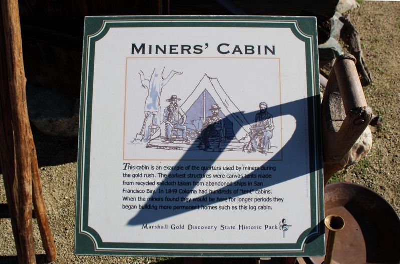
This cabin is an example of he quarters used by miners during the gold rush. The earliest structures were canvas tents, made from recycled sailcloth taken from abandoned ships in San Francisco Bay. In 1849 Coloma had hundreds of “tent” cabins. When the miners found they would be here for longer periods, they began building more permanent homes, such as this log cabin. Erected by Marshall Gold Discovery State Historic Park. (Current replacement marker; the page also shows the previous marker.)
Source
Catalogued from the Historical Marker Database (marker No. 12270).