← The catalogue · ← El Dorado County markers
Gold Country · El Dorado County
Mormon Island Relocation Cemetery
Where it stands
On Shadowfax Lane south of Green Valley Road; marker is placed at the entrance to the cemetery; marker is at or near 2547 Shadowfax Lane, El Dorado Hills CA 95762
Coordinates: 38.698517, -121.109533 · View on map →
The words on the plaque
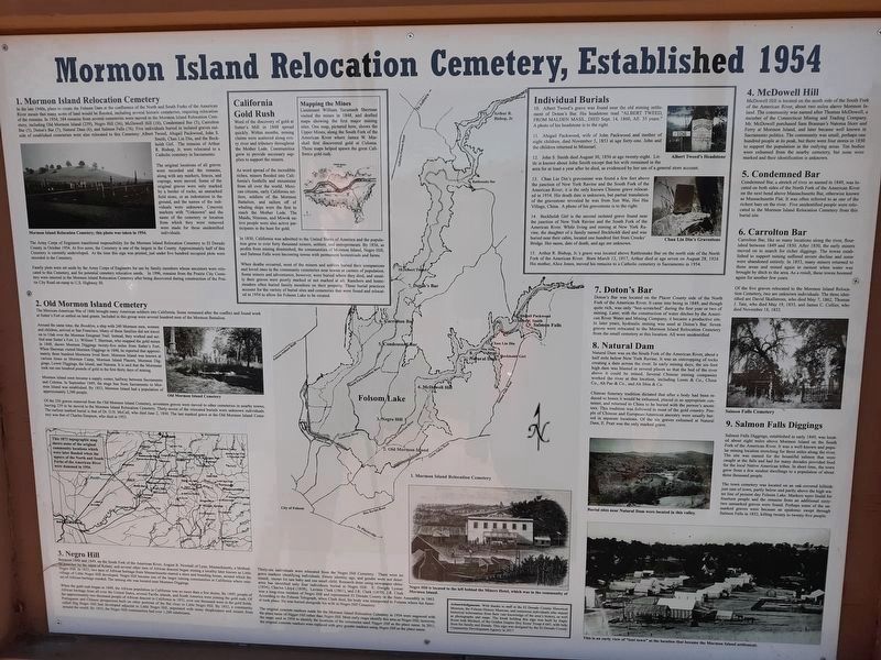
In the late 1940s, plans to create the Folsom Dam at the confluence of the North and South Forks of the American River meant many acres of land would be flooded, including several historic cemeteries, requiring relocation of the remains. In 1954, 384 remains from several cemeteries were moved to the Mormon Island Relocation Cemetery, including Old Mormon Island (239), Negro Hill (36), McDowell Hill (10), Condemned Bar (5), Carrolton Bar (5), Doton's Bar (7), Natural Dam (6), and Salmon Falls (76)… (Multi-panel interpretive sign covering the relocated cemeteries and individual burials; designed by the El Dorado County Community Development Agency in 2017; kiosk built by Eagle Scout Josh Michael.)
Source
Catalogued from the Historical Marker Database (marker No. 128767).