← The catalogue · ← El Dorado County markers
Gold Country · El Dorado County
Osgood's Toll House
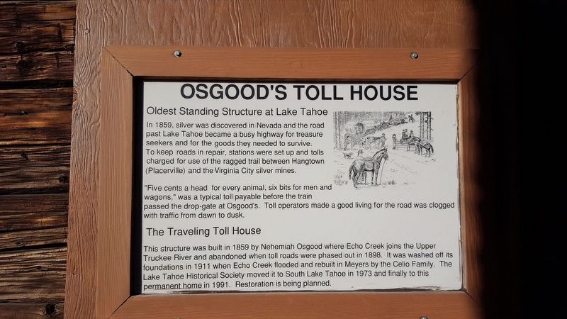
Where it stands
Reached from Lake Tahoe Blvd (U.S. 50) north of Lyons Avenue, at the Lake Tahoe Historical Society; marker is at or near 3058 Lake Tahoe Blvd, South Lake Tahoe CA 96150
Coordinates: 38.939967, -119.976367 · View on map →
The words on the plaque
Oldest Standing Structure at Lake Tahoe. In 1859, silver was discovered in Nevada and the road past Lake Tahoe became a busy highway for treasure seekers and for the goods they needed to survive. To keep roads in repair, stations were set up and tolls charged for use of the ragged trail between Hangtown (Placerville) and the Virginia City silver mines… This structure was built in 1859 by Nehemiah Osgood where Echo Creek joins the Upper Truckee River and abandoned when the toll roads were phased out in 1898… Erected by Lake Tahoe Historical Society.
Source
Catalogued from the Historical Marker Database (marker No. 113203).