← The catalogue · ← El Dorado County markers
Gold Country · El Dorado County
Pleasant Flat
Where it stands
At the intersection of Mt Murphy Road and Levee Trail, on the left when traveling east on Mt Murphy Road; resin marker mounted to a metal stand in the Levee Trail parking lot, Marshall Gold Discovery State Historic Park
Coordinates: 38.802500, -120.889700 · View on map →
The words on the plaque
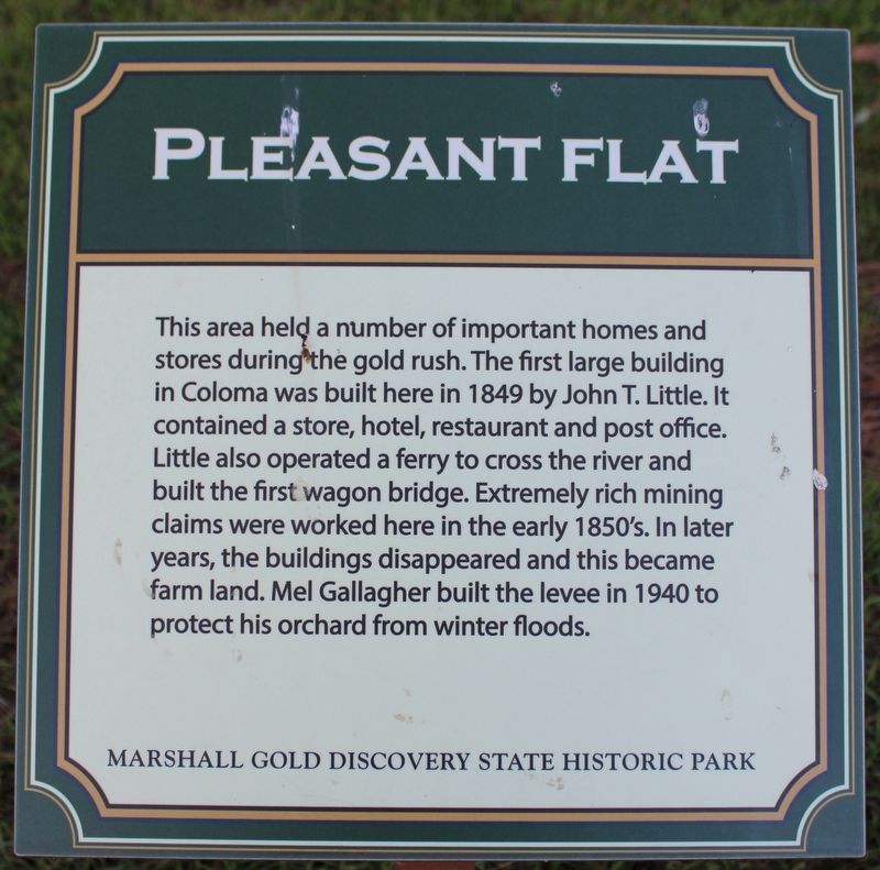
This area held a number of important homes and stores during the gold rush. The first large building in Coloma was built here in 1849 by John T. Little. It contained a store, hotel, restaurant and post office. Little also operated a ferry to cross the river and built the first wagon bridge. Extremely rich mining claims were worked here in the early 1850's. In later years, the buildings disappeared and this became farm land. Mel Gallagher built the levee in 1940 to protect his orchard from winter floods. Erected by California Department of Parks & Recreation.
Source
Catalogued from the Historical Marker Database (marker No. 215742).