← The catalogue · ← El Dorado County markers
Gold Country · El Dorado County
Saint John's Cemetery
Where it stands
On Marshall Park Way, on the right when traveling north; site and marker are within Marshall Gold Discovery State Historic Park just south of Church Street
Coordinates: 38.796967, -120.892883 · View on map →
The words on the plaque
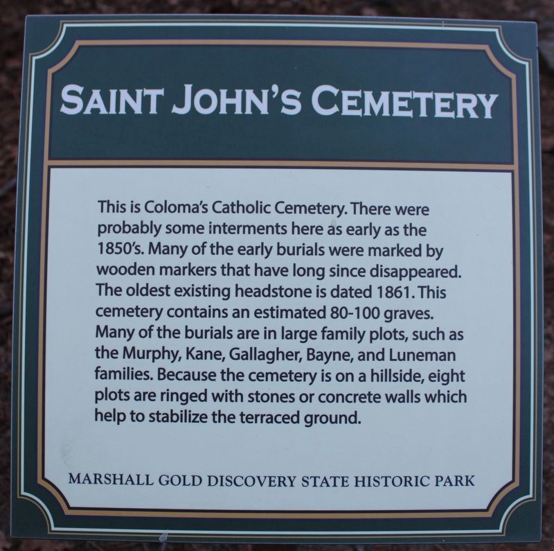
This is Coloma's Catholic Cemetery. There were probably some interments here early in the 1850's. Many of the early burials were marked by wooden markers that have long since disappeared. The oldest existing headstone is dated 1861. This cemetery contains an estimated 80 to 100 graves. Many of the burials are in large family plots, such as the Murphy, Kane, Gallagher, Bayne, and Luneman families. Because the cemetery is on a hillside, eight plots are ringed with stone or concrete walls which help to stabilize the terraced ground. Erected by Marshall Gold Discovery State Historical Park. (Current replacement marker; the page also shows the original marker.)
Source
Catalogued from the Historical Marker Database (marker No. 218308).