← The catalogue · ← El Dorado County markers
Gold Country · El Dorado County
Site of Coloma's Largest Brick Store
Where it stands
On Back Street north of Brewery Street, on the right when traveling south; resin marker mounted to a metal stand on Back Street, Marshall Gold Discovery State Historic Park
Coordinates: 38.799683, -120.891133 · View on map →
The words on the plaque
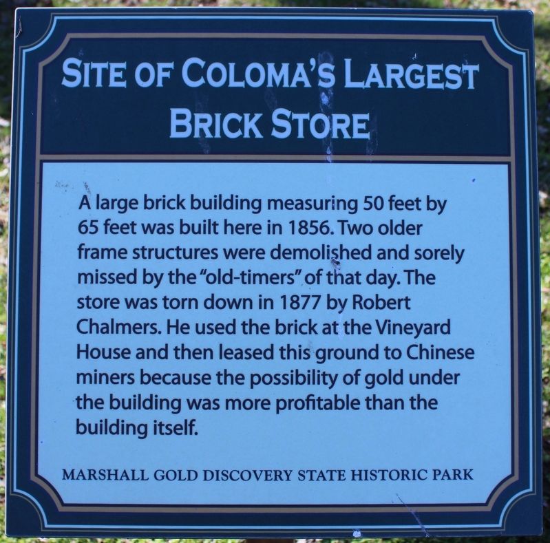
A large brick building measuring 50 feet by 65 feet was built here in 1856. Two older frame structures were demolished and sorely missed by the “old-timers” of that day. The store was torn down in 1877 by Robert Chalmers. He used the brick at the Vineyard House and then leased this ground to Chinese miners because the possibility of gold under the building was more profitable than the building itself. Erected by California Department of Parks & Recreation. (Successor to Coloma's Largest Brick Store, HMdb 12273, which it replaced.)
Source
Catalogued from the Historical Marker Database (marker No. 215303).