← The catalogue · ← El Dorado County markers
Gold Country · El Dorado County
Site of Coloma's Law Offices
Where it stands
On Coloma Road (California Route 49) south of Mt Murphy Road, on the right when traveling south; within Marshall Gold Discovery State Historic Park at the west end of the Beer Garden Picnic Area
Coordinates: 38.800233, -120.891100 · View on map →
The words on the plaque
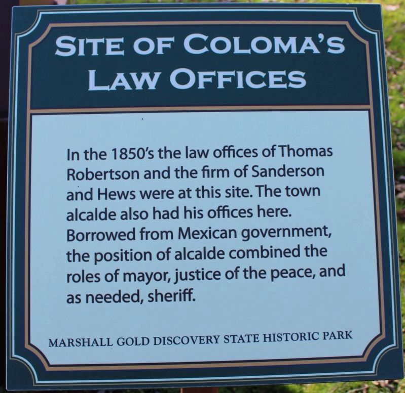
In the 1850s, the law offices of Thomas Robertson and the firm of Sanderson and Hews were at this site. The town alcalde also had his office here. Borrowed from Mexican government, the position of alcalde combined the roles of mayor, justice of the peace, and as needed, sheriff. Erected by Marshall Gold Discovery State Historic Park. (Current replacement marker; the page also shows the previous marker.)
Source
Catalogued from the Historical Marker Database (marker No. 17572).