← The catalogue · ← El Dorado County markers
Gold Country · El Dorado County
Site of the Sierra Nevada House
Where it stands
On Coloma Road (California Route 49 at milepost 2) near Brewery Street, on the right when traveling north; resin marker mounted to a metal stand on the side of the road, Marshall Gold Discovery State Historic Park
Coordinates: 38.799833, -120.890050 · View on map →
The words on the plaque
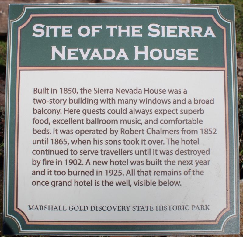
Built in 1850, the Sierra Nevada House was a two-story building with many windows and a broad balcony. Here guests could always expect superb food, excellent ballroom music, and comfortable beds. It was operated by Robert Chalmers from 1852 until 1865, when his sons took it over. The hotel continued to serve travellers until it was destroyed by fore in 1902. A new hotel was built the next year and it too burned in 1925. All that remains of the once grand hotel is the well, visible below. Erected by California Department of Parks & Recreation. (Successor to Site of Sierra Nevada House, HMdb 12237, which it replaced.)
Source
Catalogued from the Historical Marker Database (marker No. 215361).