← The catalogue · ← El Dorado County markers
Gold Country · El Dorado County
Tahoe By Car
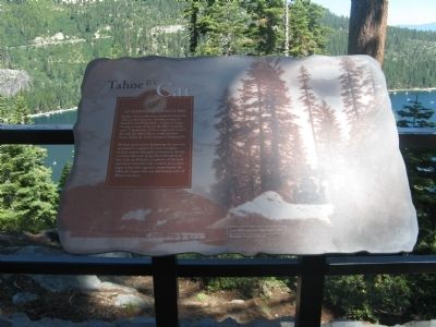
Where it stands
Reached from Emerald Bay Road (State Highway 89), on the right when traveling north; marker is located at the Inspiration Point Rest Area, South Lake Tahoe CA 96150
Coordinates: 38.946733, -120.098367 · View on map →
The words on the plaque
Imagine what an adventure it must have been for Tahoe's early motorists. Traveling in open-air Model Ts and Oldsmobiles, vacationers began driving as roads connected the Lake's recreation spots. Completed in 1913, a rough road around Emerald Bay linked Tahoe's south and west shores. Today the highway is known as Highway 89. Workers spent months dynamiting the route out of granite to complete the road… In 1940, the steamer Tahoe was deliberately sunk off Tahoe's east shore. (Emerald Bay State Park interpretive panel; no erector named on the HMdb page.)
Source
Catalogued from the Historical Marker Database (marker No. 275497).