← The catalogue · ← El Dorado County markers
Gold Country · El Dorado County
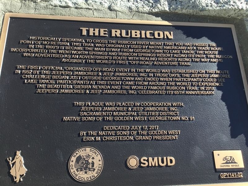
The Rubicon
Where it stands
On the Rubicon Trail, on the right when traveling east; marker is mounted to the side of the Loon Lake spillway, near the bottom, visible from the Rubicon Trail, Georgetown CA 95634
Coordinates: 39.003583, -120.312533 · View on map →
The words on the plaque
Historically speaking, to cross the Rubicon River meant that you had passed the point of no return. This trail was originally used by Native Americans as a trade route. In the 1800s it became the main byway from Georgetown to Lake Tahoe… The first official, organized off-road event in the world was established on this route in 1952 by the Jeepers Jamboree & Jeep Jamboree, Inc… In 2017, Jeepers Jamboree & Jeep Jamboree, Inc. celebrated its 65th Anniversary. Erected 2017 by Jeepers Jamboree & Jeep Jamboree, Inc., Sacramento Municipal Utilities District and the Native Sons of the Golden West, Georgetown No. 91.
Source
Catalogued from the Historical Marker Database (marker No. 105984).