← The catalogue · ← Mariposa County markers
Gold Country · Mariposa County
Agua Fria
Where it stands
On State Highway 140 east of Yaqui Gulch Road, on the left when traveling east; at or near 4260 Highway 140, Mariposa CA 95338
Coordinates: 37.481167, -120.010667 · View on map →
Erected by: Matuca Chapter 1849
The words on the plaque
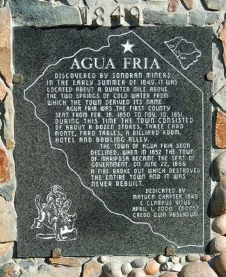
Discoverd [sic] by Sonoran miners in the early summer of 1849. It was located about a quarter mile above the two springs of cold water from which the town derived its name. Aqua Fria [sic] was the first county seat from Feb. 18, 1850 to Nov. 10, 1851. During this time the town consisted of about a dozen stores, Three Card Monte, Faro tables, a billiard room, hotel and bowling alley. The town of Aqua Fria soon declined, when in 1852 the town of Mariposa became the seat of government. On June 22, 1866 a fire broke out which destroyed the entire town and it was never rebuilt. Erected 2000 by E Clampus Vitus, Matuca Chapter No. 1849. (Stands a few steps from the 1954 CHL 518 plaque, HMdb 51554, at the same Highway 140 site.)
Source
Catalogued from the Historical Marker Database (marker No. 46410).