← The catalogue · ← Mariposa County markers
Gold Country · Mariposa County
Disappearing Waterfalls
Where it stands
Reached from Wawona Road south of California Route 41, at the Bridalveil Fall trail area; post office area Yosemite National Park CA 95389
Coordinates: 37.716700, -119.651500 · View on map →
The words on the plaque
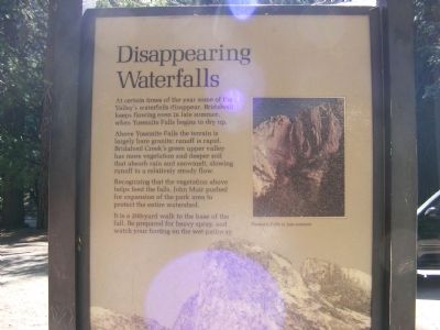
At certain times of the year some of the Valley's waterfalls disappear. Bridalveil keeps flowing even in late summer, when Yosemite Falls begins to dry up. Above Yosemite Falls the terrain is largely bare granite; runoff is rapid. Bridalveil Creek's green upper valley has more vegetation and deeper soil that absorb rain and snowmelt, slowing runoff to a relatively steady flow. Recognizing that the vegetation above helps feed the falls, John Muir pushed for expansion of the park area to protect the entire watershed. It is a 200 yard walk to the base of the fall. Be prepared for heavy spray, and watch your footing on the wet pathway. Erected by National Park Service (Bridalveil Fall wayside).
Source
Catalogued from the Historical Marker Database (marker No. 63589).