← The catalogue · ← Mariposa County markers
Gold Country · Mariposa County
Mount Ophir Mine
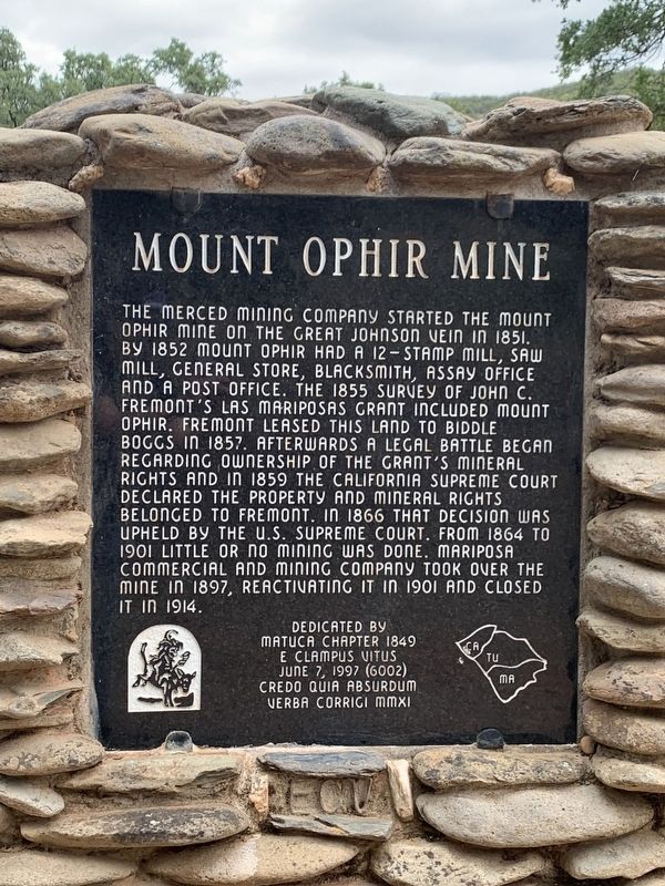
Where it stands
On Mount Ophir Road, on the right when traveling east; at or near 6389 Mt Ophir Road, Mariposa CA 95338
Coordinates: 37.514533, -120.066500 · View on map →
Erected by: Matuca Chapter 1849
The words on the plaque
The Merced Mining Company started the Mount Ophir Mine on the Great Johnson Vein in 1851. By 1852 Mount Ophir had a 12-stamp mill, saw mill, general store, blacksmith, assay office and a post office. The 1855 survey of John C. Fremont's Las Mariposas grant included Mount Ophir. Fremont leased this land to Biddle Boggs in 1857. Afterwards a legal battle began regarding ownership of the grant's mineral rights and in 1859 the California Supreme Court declared the property and mineral rights belonged to Fremont. In 1866 that decision was upheld by the U.S. Supreme Court.… Erected 1997 by Matuca Chapter 1849, E Clampus Vitus. (This April 2026 plaque is the replacement for the vandalized 1997 marker documented at HMdb 298257, with completely revised text.)
Source
Catalogued from the Historical Marker Database (marker No. 301075).