← The catalogue · ← Mariposa County markers
Gold Country · Mariposa County
Visitors at Mirror Lake
Where it stands
Reached from Mirror Lake Loop, on the Mirror Lake Trail; post office area Yosemite National Park CA 95389
Coordinates: 37.748533, -119.550550 · View on map →
The words on the plaque
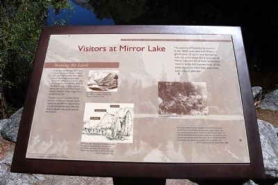
The opening of Yosemite to tourism in the 1850s coincided with America's glorification of nature and fascination with the picturesque. Early accounts of Mirror Lake are full of such sentiments. Visitors today still express many of the same emotions when they encounter such natural splendor. Naming the Land — From the earliest days here, Euro-Americans began to leave their mark on Yosemite. They kept a few of the Ahwahneechee place names but added new ones for many of the magnificent landscape features. Fanciful notions gave us place names such as Cloud's Rest, Royal Arches, Cathedral Peak, Happy Isles, and Bridalveil Fall. Tisseyak (woman turned to stone) became Half Dome, Ahwiyah (quiet water) became Mirror Lake, Cholok (the fall) became Yosemite Falls, and Weiyow (juniper mountain) became Mt. Watkins. Erected by Yosemite Fund (National Park Service wayside).
Source
Catalogued from the Historical Marker Database (marker No. 81961).