← The catalogue · ← Nevada County markers
Gold Country · Nevada County
Donner Lake West End
Where it stands
Intersection of Donner Pass Road and South Shore Road, at the west end of Donner Lake, near Truckee
Coordinates: 39.323250, -120.290800 · View on map →
The words on the plaque
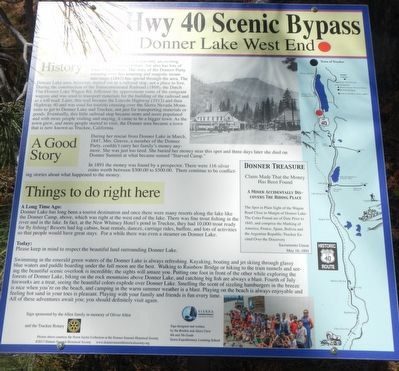
History: The Donner Lake area is not only an exciting place to live and adventure, but also has lots of interesting history. The story of the Donner Party crossing over this amazing and majestic mountain range (1847) has spread through the area. The Donner Lake area, however, started out as a railroad stop, not a place to live. During construction of the Transcontinental Railroad (1869), the Dutch Flat Donner Lake Wagon Rd. followed the approximate route of the emigrant wagons… Later, this trail became the Lincoln Highway (1913) and then Highway 40… Erected by Donner Summit Historical Society.
Source
Catalogued from the Historical Marker Database (marker No. 129736).