← The catalogue · ← Nevada County markers
Gold Country · Nevada County
Giant
E Clampus VitusNevada County
Where it stands
Intersection of North Bloomfield Road and Relief Hill Road, near Nevada City (Malakoff Diggins area)
Coordinates: 39.368000, -120.899800 · View on map →
Erected by: Wm. Bull Meek-Wm. Morris Stewart Chapter No. 10
The words on the plaque
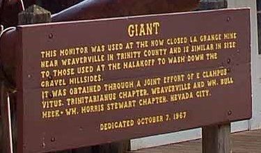
This monitor was used at the now closed La Grange Mine near Weaverville in Trinity County and is similar in size to those used at the Malakoff to wash down the gravel hillsides. It was obtained through a joint effort of E Clampus Vitus, Trinitarianus Chapter, Weaverville, and Wm. Bull Meek-Wm. Morris Stewart Chapter, Nevada City.
Source
Catalogued from the Historical Marker Database (marker No. 861).