← The catalogue · ← Nevada County markers
Gold Country · Nevada County
Lake Van Norden Dam
Where it stands
Intersection of Van Norden Lake Road and Soda Springs Road, near Soda Springs
Coordinates: 39.321233, -120.377350 · View on map →
The words on the plaque
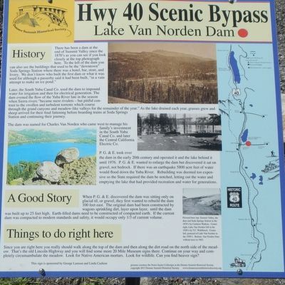
History: There has been a dam at the end of Summit Valley since the 1870's… Later, the South Yuba Canal Co. used the dam to impound water for irrigation and then for electrical generation… The dam was named for Charles Van Norden who came west to manage this family's investment in the South Yuba Canal Co… P.G.&E. took over the dam in the early 20th century and operated it and the lake behind it until 1976… the State required the dam be notched, letting out the water and emptying the lake. Erected by Donner Summit Historical Society.
Source
Catalogued from the Historical Marker Database (marker No. 129582).