← The catalogue · ← Nevada County markers
Gold Country · Nevada County
The Fight to Stay Alive
Where it stands
State Highway 89, 0.6 miles north of Alder Creek Road, along the Donner Camp Trail at the Donner Camp Historical Site, near Truckee; at or near 12893 California Highway 89, Truckee CA 96161
Coordinates: 39.376783, -120.179850 · View on map →
The words on the plaque
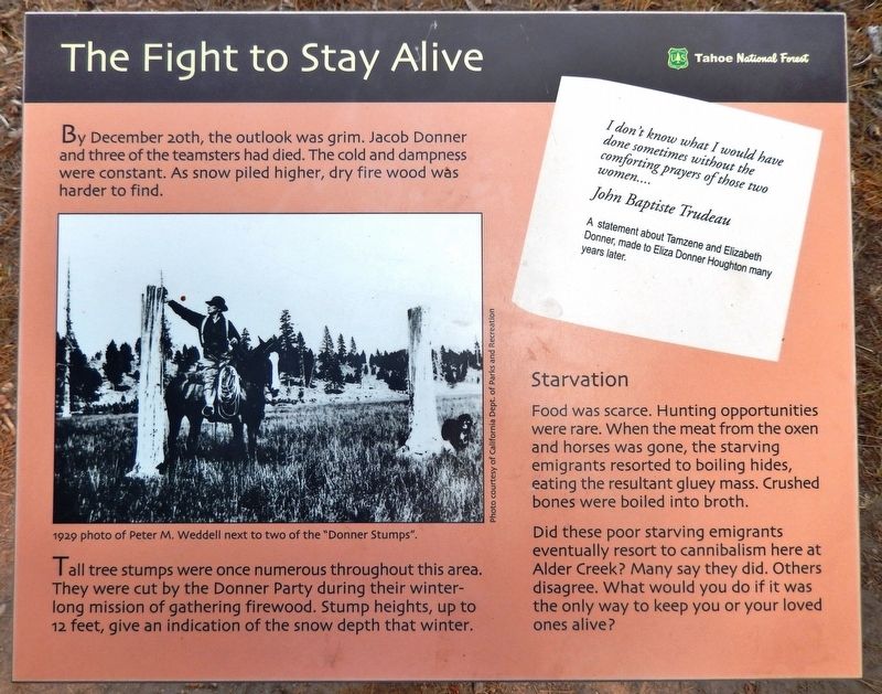
By December 20th, the outlook was grim. Jacob Donner and three of the teamsters had died. The cold and dampness were constant. As snow piled higher, dry fire wood was harder to find. Tall tree stumps were once numerous throughout this area. They were cut by the Donner Party during their winter-long mission of gathering firewood. Stump heights, up to 12 feet, give an indication of the snow depth that winter… Starvation: Food was scarce… the starving emigrants resorted to boiling hides, eating the resultant gluey mass. Erected by Tahoe National Forest.
Source
Catalogued from the Historical Marker Database (marker No. 146234).