← The catalogue · ← Placer County markers
Gold Country · Placer County
Conflict Over Water
Where it stands
Can be reached from North Lake Boulevard; at the south end of the Truckee River outlet, next to Lake Tahoe Dam (post office area: Tahoe City CA 96145)
Coordinates: 39.166900, -120.143917 · View on map →
The words on the plaque
Partial transcription — the catalogue holds only part of the inscription, kept as found
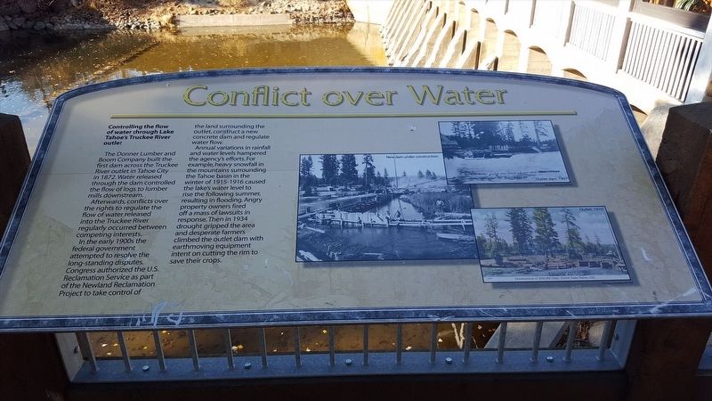
Controlling the flow of water through Lake Tahoe's Truckee River outlet. The Donner Lumber and Boom Company built the first dam across the Truckee River outlet in Tahoe City in 1872. Water released through the dam controlled the flow of logs to lumber mills downstream. Afterwards, conflicts over the rights to regulate the flow of water released into the Truckee River regularly occurred between competing interests. In the early 1900s the federal government attempted to resolve the long-standing disputes. Congress authorized the U.S. Reclamation Service as part of the Newland Reclamation Project to take control of the land surrounding the outlet, construct a new concrete dam and regulate water flow.… Erected by North Lake Tahoe Historical Society.
A note on this marker
One of the William B. Layton Park / Gatekeeper's Cabin Museum panel cluster at the Lake Tahoe outlet in Tahoe City; the panels stand within a few steps of each other at near-identical published coordinates but are distinct markers, not duplicates.
Source
Catalogued from the Historical Marker Database (marker No. 112966).