← The catalogue · ← Placer County markers
Gold Country · Placer County
First Transcontinental Railroad — Roseville
Where it stands
Can be reached from Church Street just east of Washington Boulevard, on the right when traveling east; at or near 133 Church St, Roseville CA 95678
Coordinates: 38.751133, -121.285783 · View on map →
The words on the plaque
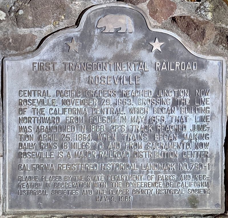
Central Pacific graders reached Junction, now Roseville, on November 23, 1863, crossing the line of the California Central, which began building northward from Folsom in May 1858. That line was abandoned in 1868. CP’s track reached Junction April 25, 1864 when trains began making daily runs 18 miles to and from Sacramento. Now Roseville is a major railroad distribution center. California Registered Historical Landmark No. 780-1. Erected 1989 by State Department of Parks and Recreation in cooperation with the Conference of California Historical Societies and The Placer County Historical Society. (Marker Number 780-1.)
Source
Catalogued from the Historical Marker Database (marker No. 11079), cross-checked against the California Office of Historic Preservation’s landmark lists.