← The catalogue · ← Placer County markers
Gold Country · Placer County
Maidu Interpretive Center
Where it stands
Can be reached from Johnson Ranch Drive; on the trail at the Maidu Interpretive Center, a short walk from the Museum building; at or near 1960 Johnson Ranch Drive, Roseville CA 95661
Coordinates: 38.738000, -121.246000 · View on map →
The words on the plaque
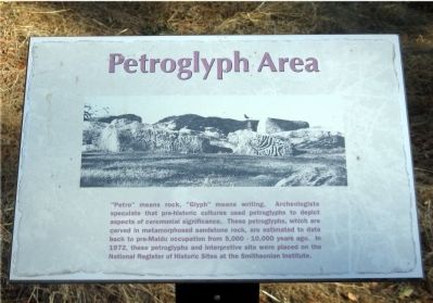
Petroglyph Area. “Petro” means rock, “Glyph” means writing. Archeologists speculate that pre-historic cultures used petroglyphs to depict aspects of ceremonial significance. These petroglyphs, which are carved in metamorphosed sandstone rock, are estimated to date back to pre-Maidu occupation from 5,000 – 10,000 years ago. In 1972, these petroglyphs and interpretive site were placed on the National Register of Historic Sites at the Smithsonian Institute.
Source
Catalogued from the Historical Marker Database (marker No. 23427).