← The catalogue · ← Placer County markers
Gold Country · Placer County
Michigan Bluff to Last Chance
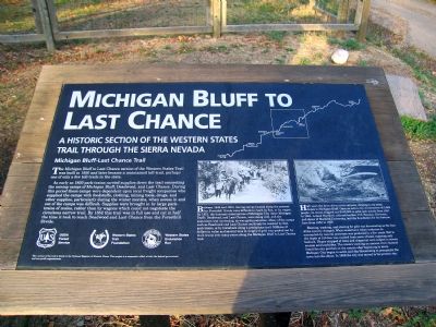
Where it stands
At the intersection of Michigan Bluff Road and Turkey Hill Road, on the left when traveling east on Michigan Bluff Road (post office area: Foresthill CA 95631)
Coordinates: 39.041050, -120.734767 · View on map →
The words on the plaque
Partial transcription — the catalogue holds only part of the inscription, kept as found
A historic section of the Western States Trail through the Sierra Nevada. Michigan Bluff–Last Chance Trail. The Michigan Bluff to Last Change section of the Western States Trail was built in 1850 and later became a maintained toll-trail, perhaps one of only a few toll-trails in the state. As early as 1850 pack-trains carried supplies down the trail connecting the mining camps of Michigan Bluff, Deadwood, and Last Change. During this period these camps were dependent upon local friend companies who supplied the camps with foodstuffs, clothing, mining tools, drugs, and other supplies, particularly during the winder months, when access in and out of the camps was difficult.… Erected by USDA Forest Service, Western Trails Foundation, Western States Endurance Run.
Source
Catalogued from the Historical Marker Database (marker No. 692).