← The catalogue · ← Placer County markers
Gold Country · Placer County
Rocklin Roundhouse
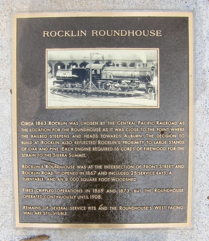
Where it stands
At the intersection of Front Street and Rocklin Road, on the right when traveling north on Front Street; in Peter Hill Heritage Park (post office area: Rocklin CA 95677)
Coordinates: 38.791917, -121.237567 · View on map →
The words on the plaque
Circa 1863 Rocklin was chosen by the Central Pacific Railroad as the location for the roundhouse as it was close to the point where the railbed steepens and heads towards Auburn. The decision to build at Rocklin also reflected Rocklin's proximity to large stands of oak and pine. Each engine required 16 cords of firewood for the strain to the Sierra summit. Rocklin's roundhouse was at the intersection of Front street and Rocklin Road. It opened in 1867 and included 25 service bays, a turntable, and an 8,000 square foot woodshed. Fires crippled operations in 1869 and 1873, but the roundhouse operated continuously until 1908. Remains of several service pits and the roundhouse's west facing wall are still visible.
A note on this marker
A separate HMdb entry, Rocklin's Roundhouse (m=291055), covers the same roundhouse site about 400 feet away; distinct panels, not duplicates.
Source
Catalogued from the Historical Marker Database (marker No. 143622).