← The catalogue · ← Placer County markers
Gold Country · Placer County
Rocklin's Front Street Business District
Where it stands
On Front Street just south of Rocklin Road; at or near 5251 Front Street, Rocklin CA 95677
Coordinates: 38.791050, -121.238317 · View on map →
The words on the plaque
Partial transcription — the catalogue holds only part of the inscription, kept as found
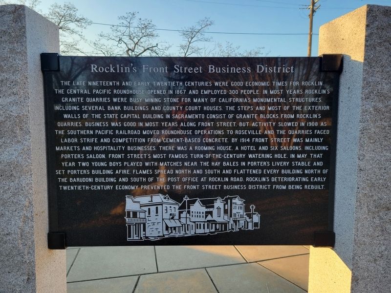
The late nineteenth and early twentieth centuries were good economic times for Rocklin. The Central Pacific roundhouse opened in 1867 and employed 300 people. In most years, Rocklin's granite quarries were busy mining stone for many of California's monumental structures, including several bank buildings and county court houses. The steps and most of the exterior walls of the state capital building in Sacramento consist of granite blocks from Rocklin's quarries. Business was good in most years along Front Street, but activity slowed in 1908 as the Southern Pacific Railroad moved roundhouse operations to Roseville and the quarries faced labor strife and competition from cement-based concrete.… Erected 2014 by the Chapman family, the City of Rocklin and the Rocklin Historical Society.
A note on this marker
One of four 2014 Heritage Park panels sharing the same monument and coordinates (with m=291057, m=291053, m=291055); distinct panels, not duplicates.
Source
Catalogued from the Historical Marker Database (marker No. 291059).