← The catalogue · ← Placer County markers
Gold Country · Placer County
Rocklin's Roundhouse
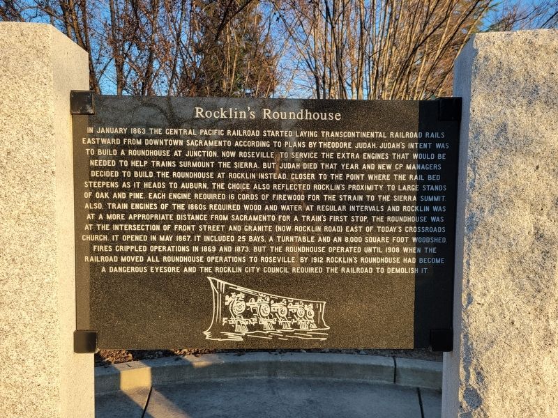
Where it stands
On Front Street just south of Rocklin Road; at or near 5251 Front Street, Rocklin CA 95677
Coordinates: 38.791050, -121.238317 · View on map →
The words on the plaque
Partial transcription — the catalogue holds only part of the inscription, kept as found
In January 1863 the Central Pacific Railroad started laying transcontinental railroad rails eastward from downtown Sacramento according to plans by Theodore Judah. Judah's intent was to build a roundhouse at Junction, now Roseville, to service the extra engines that would be needed to help trains surmount the Sierra. But Judah died that year and new CP managers decided to build the roundhouse at Rocklin instead, closer to the point where the rail bed steepens as it heads to Auburn. The choice also reflected Rocklin's proximity to large stands of oak and pine. Each engine required 16 cords of firewood for the strain to the Sierra summit also.… Erected 2014 by the Chapman family, the City of Rocklin and the Rocklin Historical Society.
A note on this marker
Covers the same Rocklin roundhouse as the panel listed by HMdb as Rocklin Roundhouse (m=143622) in Peter Hill Heritage Park; distinct plaques, not duplicates. One of four 2014 Heritage Park panels sharing the same monument and coordinates (with m=291057, m=291053, m=291059).
Source
Catalogued from the Historical Marker Database (marker No. 291055).