← The catalogue · ← Placer County markers
Gold Country · Placer County
The Lincoln Highway
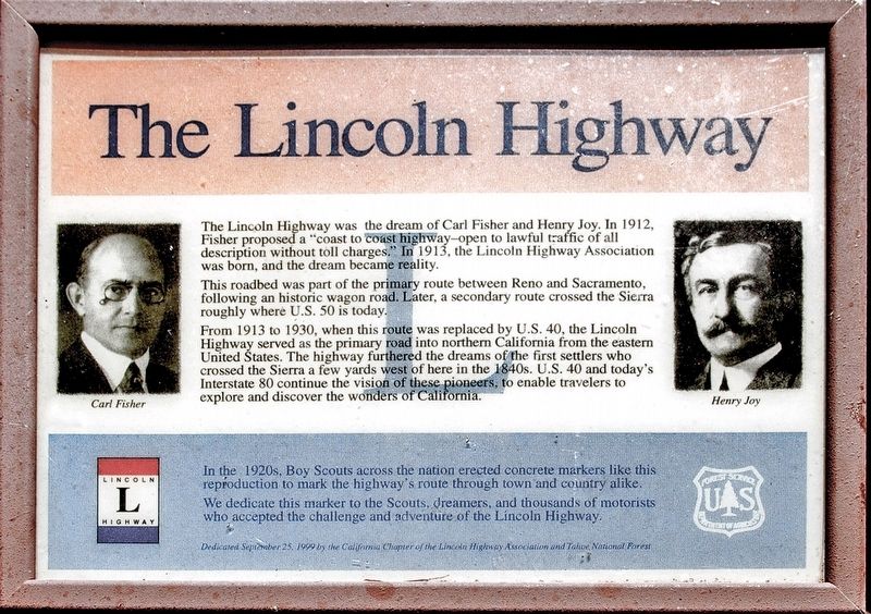
Where it stands
Can be reached from Hampshire Rocks Road; across from the Big Bend Fire Station, 0.3 miles from Interstate 80 Exit 166 (Big Bend); at or near 49685 Hampshire Rocks Road, Emigrant Gap CA 95715
Coordinates: 39.306850, -120.516750 · View on map →
Coordinates approximate
These coordinates stand approximate, exactly as the contributor published them — the one record in the catalogue whose position could not be page-verified. Treat the pin as close, not exact.
The words on the plaque
The Lincoln Highway was the dream of Carl Fisher and Henry Joy. In 1912, Fisher proposed a "coast to coast highway - open to lawful traffic of all descriptions without toll charges." In 1913, the Lincoln Highway Association was born, and the dream became reality. This roadbed was part of the primary route between Reno and Sacramento, following an historic wagon road.… Erected 1999 by California Chapter of the Lincoln Highway Association and Tahoe National Forest. (HMdb contributor notes the coordinates are approximate within a few hundred feet.)
Source
Catalogued from the Historical Marker Database (marker No. 149496).