← The catalogue · ← Placer County markers
Gold Country · Placer County
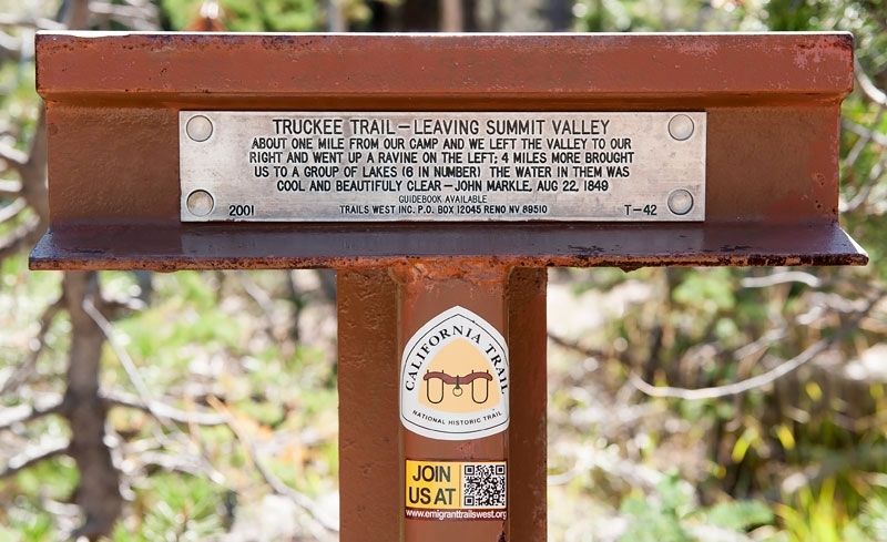
Truckee Trail - Leaving Summit Valley
Other organizationsPlacer County
Where it stands
On Soda Springs Road 0.8 miles south of Donner Pass Road, on the left when traveling south (post office area: Soda Springs CA 95728)
Coordinates: 39.312933, -120.381167 · View on map →
The words on the plaque
About one mile from our camp and we left the valley to our right and went up a ravine on the left; 4 miles more brought us to a group of lakes (6 in number) the water in them was cool and beautifully clear - John Markle, August 22, 1849. Erected 2001 by Trails West Inc. (Marker Number T-42.)
A note on this marker
Stands a few steps from the Emigrant Wagon Route marker (m=175610); distinct markers, not duplicates.
Source
Catalogued from the Historical Marker Database (marker No. 149586).