← The catalogue · ← Placer County markers
Gold Country · Placer County
Union Shed
Where it stands
At the intersection of Thirteenth Street and H Street, on the left when traveling north on Thirteenth Street (post office area: Sheridan CA 95681)
Coordinates: 38.980617, -121.376817 · View on map →
Erected by: Lord Douglas Chapter 3
The words on the plaque
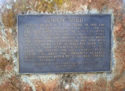
Settled in 1855 by E.C. Rodgers. In 1857 the "shed", a one story house 24' x 80' and an enclosed shed building 40' x 40' x 20' were built. With these buildings, corral and stable facilities, Union Shed became a wagon and freight trails crossroads and stop with as many as 60 teams boarded per night. This activity soon attracted people and thus Union Shed became the local market place. During the 1860's, the community renamed itself Sheridan after the Civil War General Phillip Sheridan. Erected 1985 by Lord Douglas Chapter 3, E Clampus Vitus.
Source
Catalogued from the Historical Marker Database (marker No. 17146).