← The catalogue · ← Sierra County markers
Gold Country · Sierra County
Goodyears Bar
Where it stands
Mountain House Road south of California Highway 49, on the right when traveling south, at the bridge crossing the North Yuba River, Goodyears Bar
Coordinates: 39.540733, -120.886283 · View on map →
Erected by: Major William Downie Chapter No. 1849
The words on the plaque
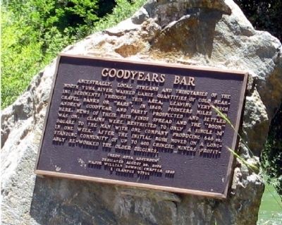
Ancestrally, local streams and tributaries of the North Yuba River washed large quantities of gold searing sediments through this area, leaving very rich gravel banks or “bars”. In 1849, pioneers Miles and Andrew Goodyear and party prospected and settled here. News of their rich finds spread and the “boom” was on. Claims were restricted to only a single 30’ square to the man with one company producing 646oz. in one week. After the initial rush moved on a long-standing community of up to 400 Chinese miners profitably re-worked the older diggings. Erected 2004 by Major William Downie Chapter 1849, E Clampus Vitus.
Source
Catalogued from the Historical Marker Database (marker No. 44290).