← The catalogue · ← Tuolumne County markers
Gold Country · Tuolumne County
Columbia
Where it stands
At the intersection of Broadway St. and Church Street, on the left when traveling north on Broadway St.
Coordinates: 38.032700, -120.403900 · View on map →
The words on the plaque
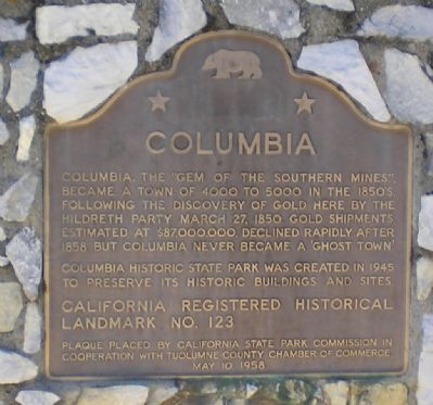
Columbia, the “gem of the southern mines,” became a town of 4000 to 5000 in the 1850s, following the discovery of gold here by the Hildreth party March 27, 1850. Gold shipments, estimated at $87,000,000, declined rapidly after 1858 but Columbia never became a 'ghost town.' Columbia State Historic State Park was created in 1945 to preserve its historic buildings and sites. Erected 1958 by California State Parks Commission, Tuolumne County Chamber of Commerce.
Source
Catalogued from the Historical Marker Database (marker No. 81870), cross-checked against the California Office of Historic Preservation’s landmark lists.