← The catalogue · ← Tuolumne County markers
Gold Country · Tuolumne County
Ralph's Station
Where it stands
At the intersection of Tuolumne Road (Local Route E17) and Soulsbyville Road, on the right when traveling east on Tuolumne Road; marker is 4.9 miles east of the intersection of Mono Way (old Highway 108) and Tuolumne Road
Coordinates: 37.964950, -120.270583 · View on map →
Erected by: Matuca Chapter 1849
The words on the plaque
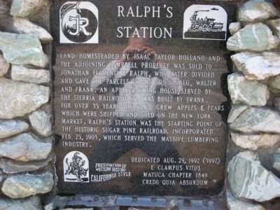
Land homesteaded by Isaac Taylor Holland and the adjoining Campbell property was sold to Jonathan Florentine Ralph, who later divided and gave the parcels to his son's Galo, Walter, and Frank. An apple packing house, served by the Sierra Railroad Co., was built by Frank. For over 35 years the son's grew apples & pears which were shipped and sold on the New York market. Ralph's Station was the starting point of the historic Sugar Pine Railroad. Incorporated Feb. 25, 1903, which served the massive lumbering industry. Erected 1992 by E Clampus Vitus, Matuca Chapter 1849. (Marker Number 5997.)
Source
Catalogued from the Historical Marker Database (marker No. 6710).