← The catalogue · ← Tuolumne County markers
Gold Country · Tuolumne County
Route of the Bartleson-Bidwell Party - 1841
Where it stands
Reached from Mono Way (California Route 108), 15.2 miles east of Herring Creek Lane, Strawberry, at Donnell's Vista (Donnell's Overlook) parking area
Coordinates: 38.341883, -119.924567 · View on map →
The words on the plaque
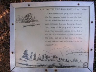
The Bartleson-Bidwell party of 34 people was the first emigrant group to cross the Sierra Nevada mountains from the east. When they passed through this area during late October 1841, some of the party tried to follow the river. The impassable canyon to the left of the vista forced them to rejoin the party on the ridge trail across the canyon. Finally, starved and worn out, they arrived in the San Joaquin Valley. Erected by USFS, Stanislaus National Forest.
A note on this marker
This marker stands at the same spot as the “Donnell Vista” point of interest already staged in Dave’s locations catalogue. The two are flagged to be merged when the catalogue takes its permanent home — not listed twice.
Source
Catalogued from the Historical Marker Database (marker No. 78076).