← The catalogue · ← Tuolumne County markers
Gold Country · Tuolumne County
Springfield
Where it stands
At the intersection of Springfield Road and Horseshoe Bend Road, on the right when traveling west on Springfield Road. Approximately 1/2 mile west of Parrotts Ferry Rd
Coordinates: 38.021767, -120.412733 · View on map →
The words on the plaque
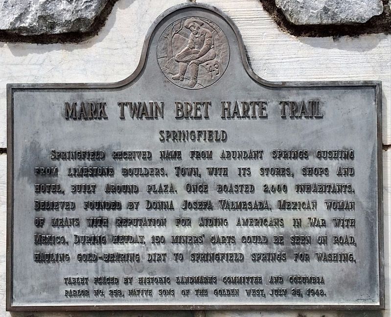
Springfield received name from abundant springs gushing from limestone boulders. Town with its stores, shops and hotel, built around plaza. Once boasted 2,000 inhabitants. Believed founded by Donna Josefa Valmesada, Mexican woman of means with reputation for aiding Americans in War with Mexico. During heyday, 150 miners carts could be seen on road, hauling gold-bearing dirt to Springfield springs for washing. Erected 1948 by Historic Landmarks Committee; and Columbia Parlor No. 258 Native Sons of the Golden West.
Source
Catalogued from the Historical Marker Database (marker No. 6810), cross-checked against the California Office of Historic Preservation’s landmark lists.