← The catalogue · ← Tuolumne County markers
Gold Country · Tuolumne County
Tuolumne (formerly called Summersville)
Where it stands
At the intersection of Tuolumne Road (County Route E17) and Carter Street, in the median on Tuolumne Road
Coordinates: 37.964367, -120.236167 · View on map →
The words on the plaque
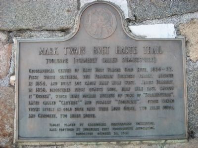
Geographical center of East Belt Placer Gold Rush, 1856-57. First white settlers, the Franklin Summers family, arrived in 1854 and built log cabin half mile west. James Blakely, in 1858, discovered first quartz lode, half mile east, naming it “Eureka”, which mine became nucleus of town of “Summersville”, later called “Carters'” and finally, “Tuolumne”. Other mining towns lively in gold rush days were Long Gulch, two miles south, and Cherokee, two miles north. Erected 1948 by California Centennial Commission and Tuolumne City Progressive Association. (Mark Twain Bret Harte Trail Marker Number 407; California Historical Landmark No. 407.)
Source
Catalogued from the Historical Marker Database (marker No. 6711), cross-checked against the California Office of Historic Preservation’s landmark lists.