Amador County
Keystone Mine
County / Local · Amador City · Amador County, California
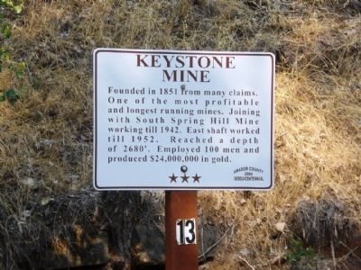
What the marker says
Founded in 1851 from many claims. One of the most profitable and longest running mines. Joining with South Spring Hill Mine working till 1942. East shaft worked until 1952. Reached a depth of 2680'. Employed 100 men and produced $24,000,000 in gold.
The record
| Marker family | County / Local |
| County | Amador County |
| Place | Amador City |
| Location | Main Street south of Water Street, Amador City |
| Coordinates | 38.417617, -120.823717 |