Amador County
Original Amador Mine
County / Local · Amador City · Amador County, California
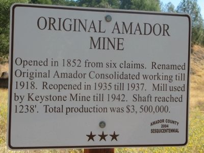
What the marker says
Opened in 1852 from six claims. Renamed Original Amador Consolidated working till 1918. Reopened in 1935 till 1937. Shaft reached 1238’. Total production was $3,500,000.
The record
| Marker family | County / Local |
| County | Amador County |
| Place | Amador City |
| Location | Intersection of East School Street and Amador Creek Street, on the right when traveling south on East School Street, Amador City |
| Coordinates | 38.419867, -120.823750 |