Nevada County
Truckee Trail - Approaching Sacramento Valley
Other · Higgins Corner · Nevada County, California
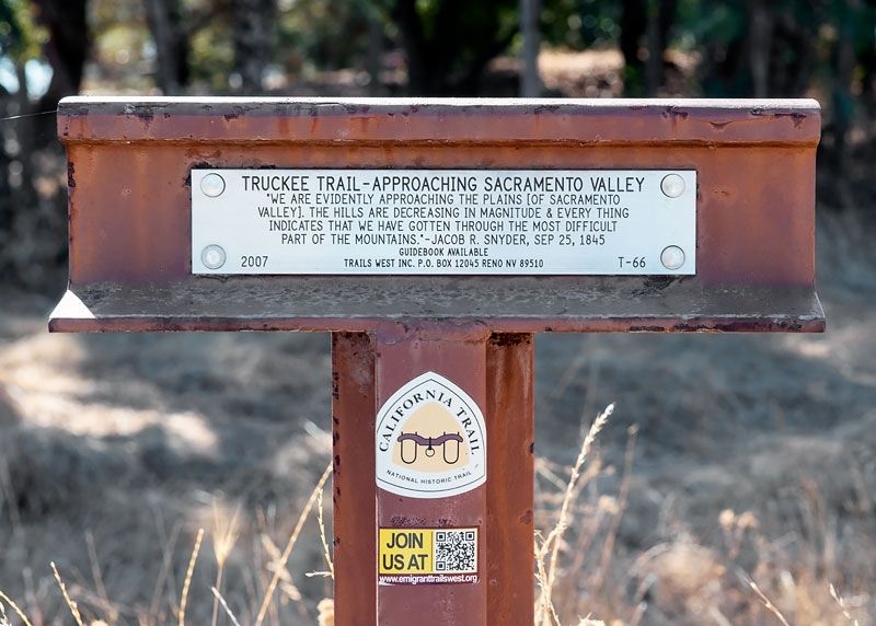
What the marker says
"We are evidently approaching the plains [of Sacramento Valley]. The hills are decreasing in magnitude & every thing indicates that we have gotten through the most difficult part of the mountains." - Jacob R. Snyder, Sep 25, 1845. Trails West Inc. marker T-66.
The record
| Marker family | Other |
| County | Nevada County |
| Place | Higgins Corner |
| Location | Intersection of Garden Bar Road and Troy Road, near Higgins Corner |
| Coordinates | 39.058667, -121.138250 |