Nevada County
Truckee Trail - Last of the Foothills
Other · Higgins Corner · Nevada County, California
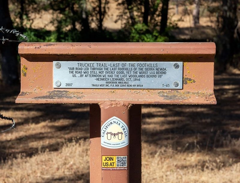
What the marker says
"Our road led through the last of the foothills of the Sierra Nevada. The road was still not overly good, yet the worst was behind us. ...By afternoon we had the last woodlands behind us" - Heinrich Lienhard, Oct, 1846. Trails West Inc. marker T-65.
The record
| Marker family | Other |
| County | Nevada County |
| Place | Higgins Corner |
| Location | Intersection of Wolf Road and Duggans Road, near Higgins Corner |
| Coordinates | 39.061167, -121.114767 |